Stage 3: Directions
From Sgonico to Repen via Rupinpiccolo
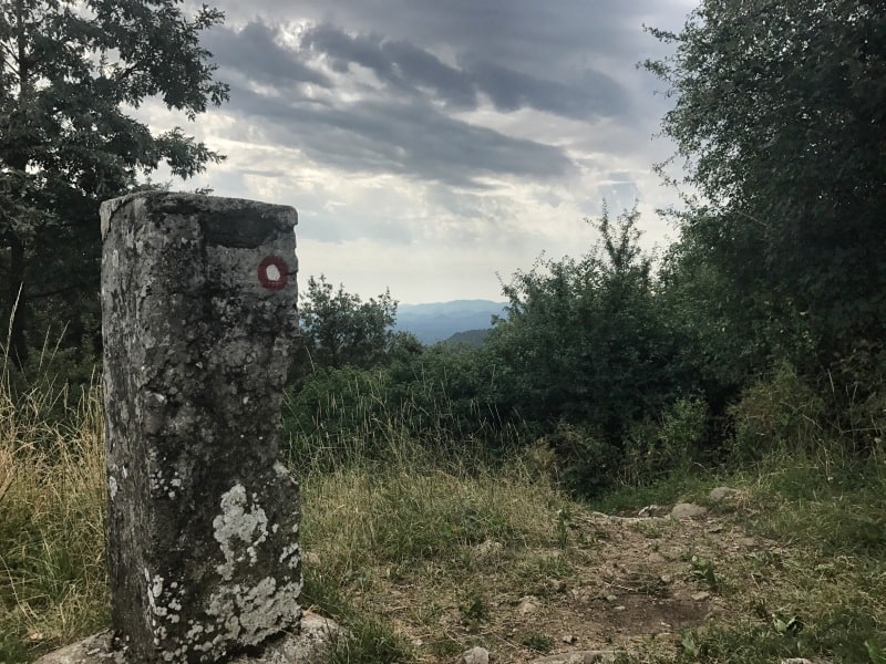
The destination of today's hike is Opicina, the beautiful and lively village just above Trieste. On the way there we will be mainly on smaller, regional trails. These are partly red-white, partly green-yellow and partly not marked at all. For orientation we therefore recommend a GPS device or a GPS app such as ViewRanger in combination with our Route downloads.
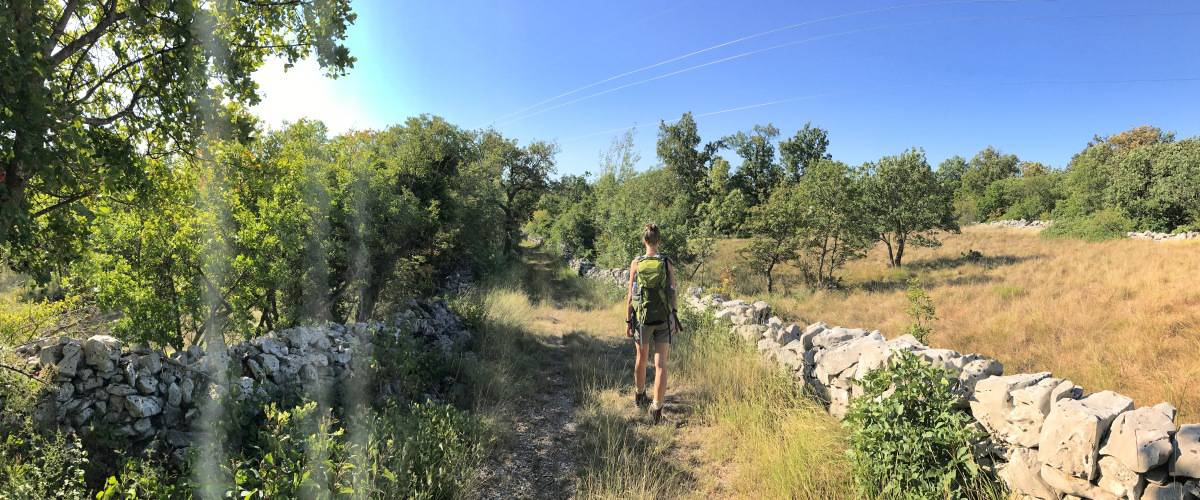
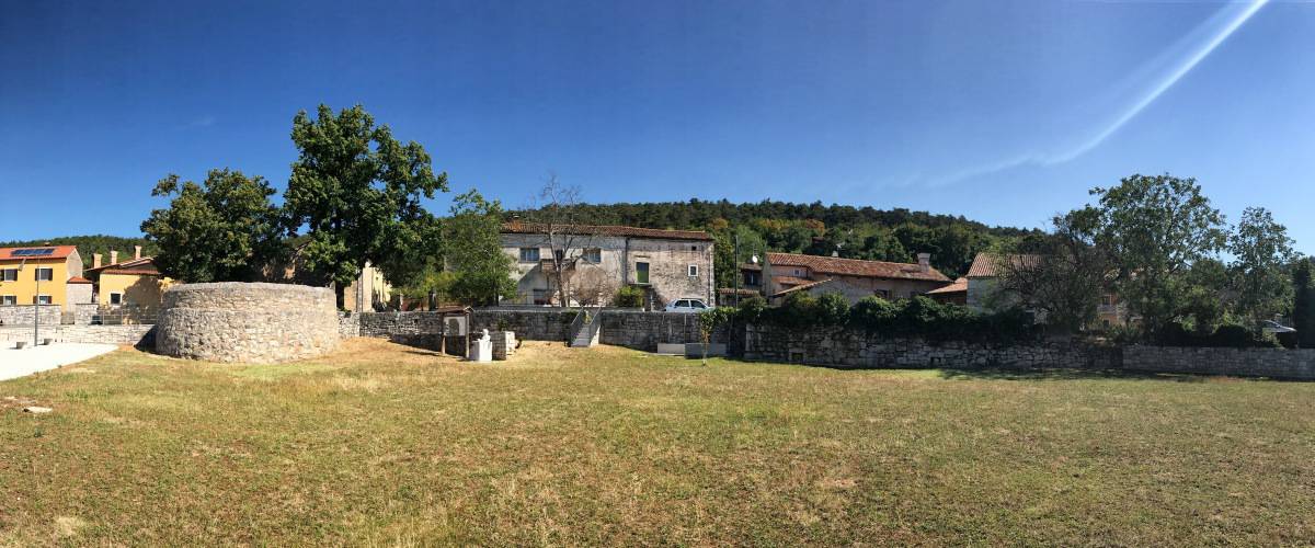
In Sgonico we turn opposite the Trattoria Gostilna Gustin into the road that passes the post office, the town hall and the bank branch and that further on leads as SP8 to Rupinpiccolo/Repen. We want to go there, but since walking along the main road is less fun, we turn right after a few meters (waypoint 1) and leave Sgonico along a path that shortly after becomes a dirt road. In a large bend to the left we walk through an idyllic landscape back to the main road. There we turn right (waypoint 2), for lack of alternatives we walk along the main road to the neighboring village of Rupinpiccolo and from there we continue until just before Repen. At waypoint 3 we turn left onto a trail marked with green arrows on a yellow background (trail "Gemina") that leads us to the center of Repen. In Repen there is a small supermarket and a hotel with restaurant and bar (waypoint 4, about 2:00h from Sgonico).
Facts about stage 3
Route: 16,9 km
Altitude meters: 340 m ascent / 395 m descent
Duration: 6:00h (without breaks)
See also Elevation profile
GPS route download for stage 3 (GPX format)
Refreshment stops along the way
Supermarket and hotel-restaurant in Repen, Several restaurants around the Grotta Gigante.
Detour to the Santuario di Monrupino
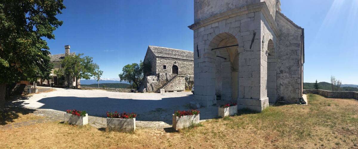
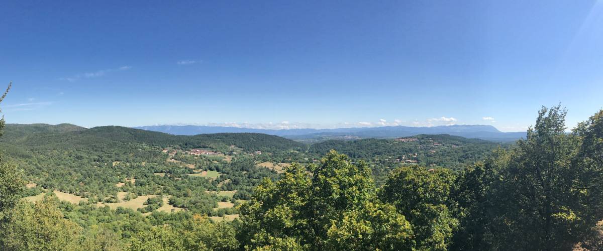
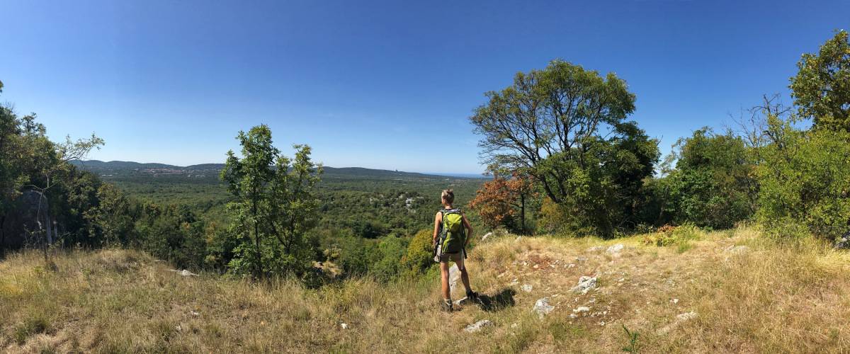
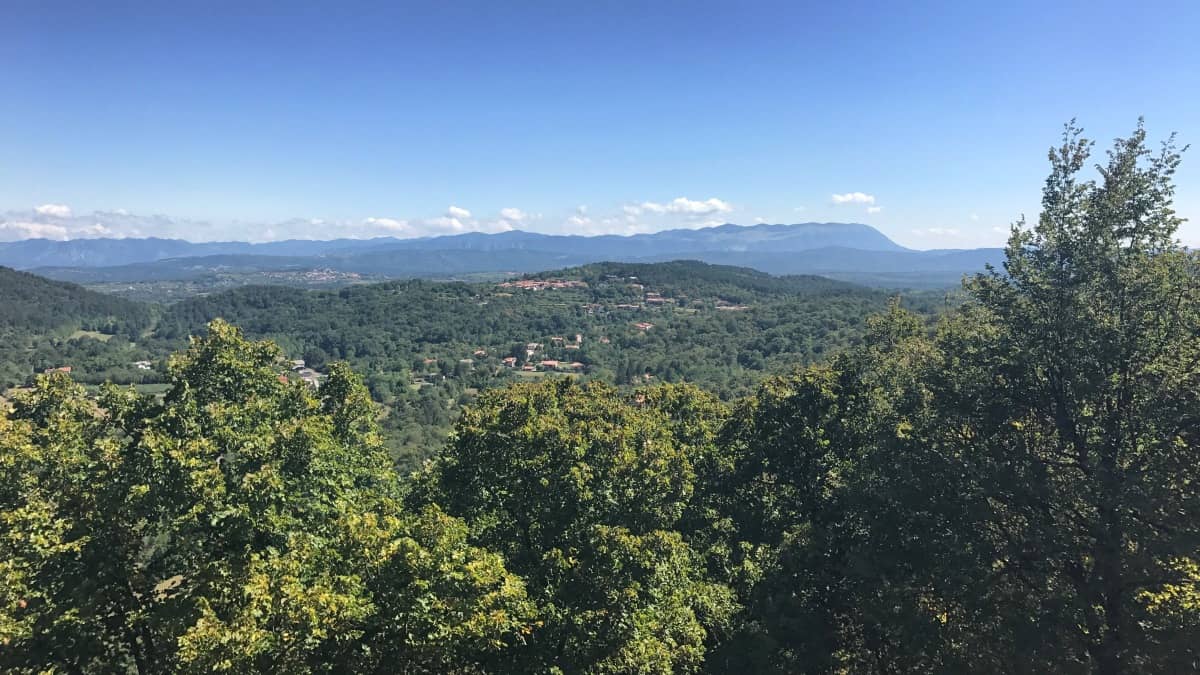
We leave Repen heading east on a paved road and walk through the woods. Soon the small hill of the Santuario di Monrupino comes into view, so shortly after we turn left (waypoint 5) and climb the viewpoint. The panoramic view is difficult to capture photographically, but in any case it is worth the detour. From here you can easily see the Monte Grisa Sanctuary, which catches your eye because of its unusual pyramid shape, and below which we hiked on stage 1.
Descent to the Grotta Gigante
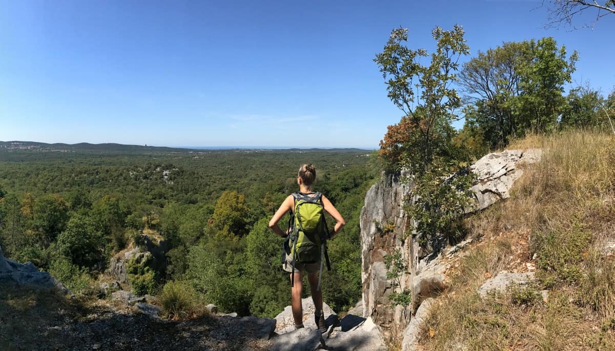
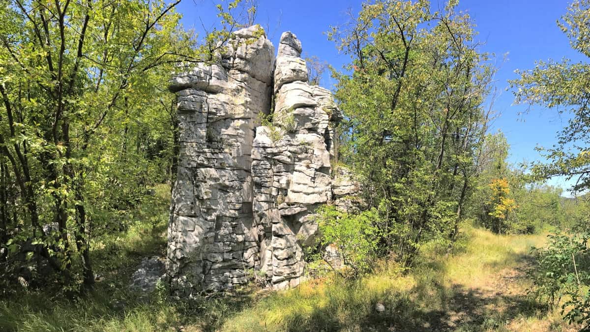
We leave the viewing hill in a southerly direction and enter a deciduous forest interspersed with karstic boulders at waypoint 7. The trail passes a beautiful viewpoint on the cliff edge. Shortly after, we meet a narrow tarred path (waypoint 8). Here we turn left and immediately right again (waypoint 9).
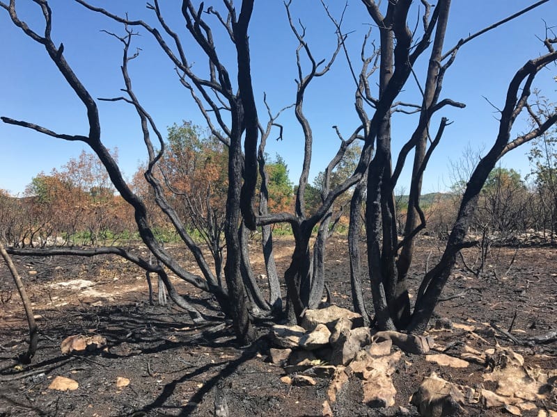
We walk slowly downhill through beautiful deciduous forest, briefly turning left at waypoint 10, then right again (waypoint 11). We pass the remains of a forest fire and meet the Strada Provinciale SP29B at waypoint 12. Here we have to make a choice: Either we hike directly to the day's destination Opicina (then sharp left before the paved road), or we can visit the cave known as the "Giant Cave of Trieste". Grotta Gigante in the town of the same name. According to the Guinness Book of Records, it is the largest show cave in the world. Those who want to get to know the Trieste Karst from below should, however, find out in advance about the visit times (www.grottagigante.it), as the visit is only possible with a guided tour (usually every hour on the hour, admission 12€, as of 2018). Beautiful 3D impressions from the interior of the cave can be found among others at Google Maps.
In the surroundings of the Grotta Gigante there are also several restaurants: Directly at the cave is the Dom Bistrò - in the meantime, the operator has changed there, the offer seems to have become much better since then. As an alternative, we were then still the Ristorante Salvia & Rosmarino called in the fitness and wellness center of the same name (Monday off).
From the Grotta Gigante to Opicina
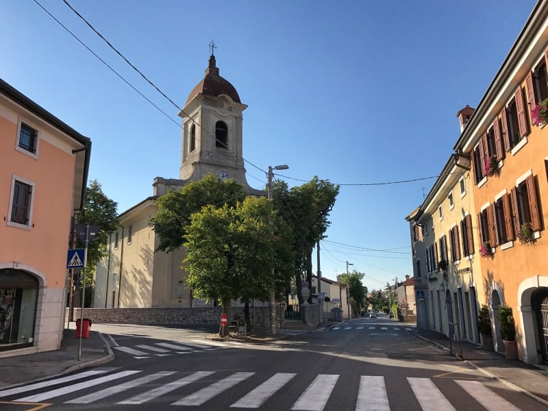
From waypoint 12 we descend slightly without much effort until we reach the highway, under which we hike. Soon we come to Opicina (partly also Villa Opicina called), where there is a pleasant buzz of activity. After the relative solitude of the rural Karst, here again we have a wide choice of cafes, bars and restaurants.
Stage 3: Accommodation in Opicina
Hotel Valeria in Opicina
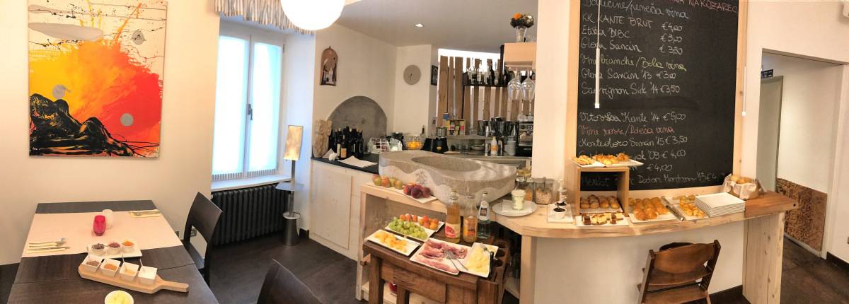
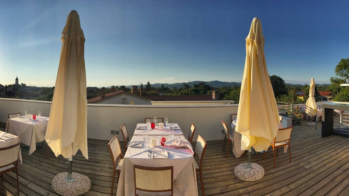
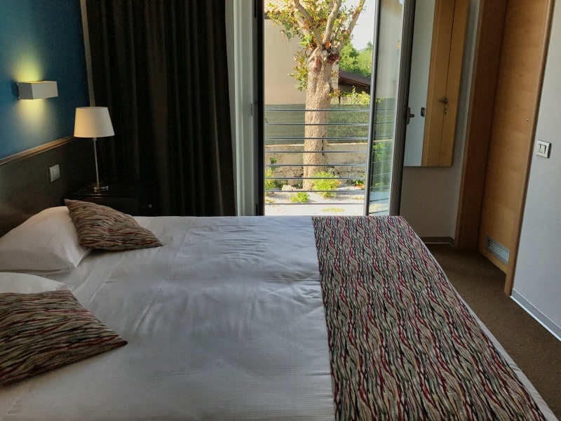
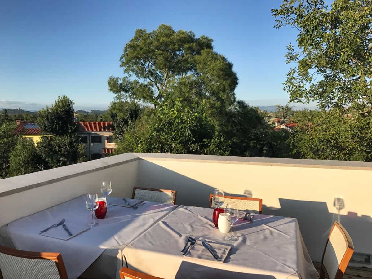
In Opicina - the destination of stage 3 - we can enjoy the Hotel Valeria recommend: Only recently renovated, this hotel impresses with its excellent breakfast and the wonderful roof terrace, where you can relax in the evening sun and end your day of hiking. The quality of the breakfast is no coincidence: The Valeria is probably best described as a Restaurant with attached hotel (and not vice versa).
Gastronomy in Opicina
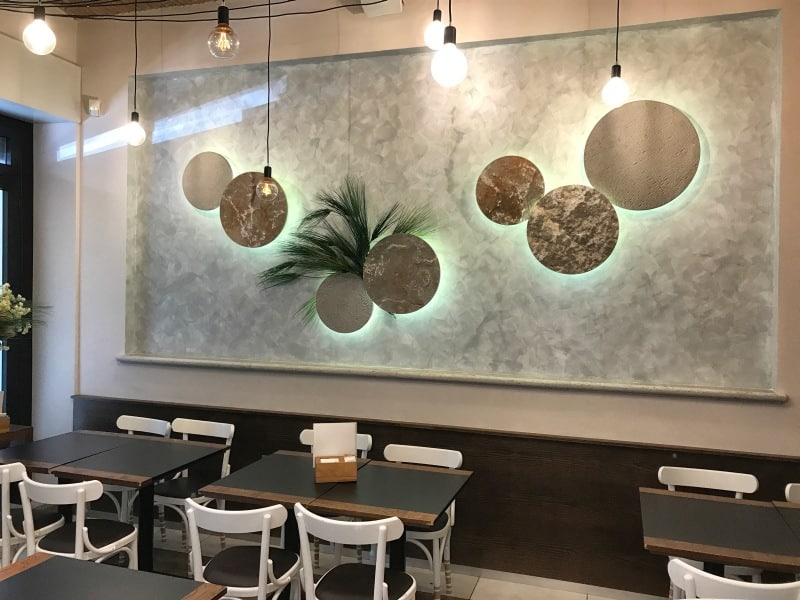
In Opicina there are also many other nice restaurants, bars and cafes. We especially liked the Caffè Vatta. If you fancy the aperitivo so typical in Italy before dinner, here is an alternative to the roof terrace of the Hotels Valeria.
Stage 4: Directions
From Opicina to Basovizza
The first prominent point on today's hike is - as at the beginning of stage 1 - the Opicina obelisk (waypoint 1). The first three stages of the circular hike have brought us back to the starting point in one big loop - but we still have two beautiful hiking days ahead of us! On stages 4 and 5 we now explore the southern part of the province of Trieste and also make a detour to Slovenia. Today we spend almost completely on the Alpe Adria Trail, only after the Lipica Stud Farm (Italian: Lipizza) we leave it for the purpose of spending the night in Lokev (Slovenia) .
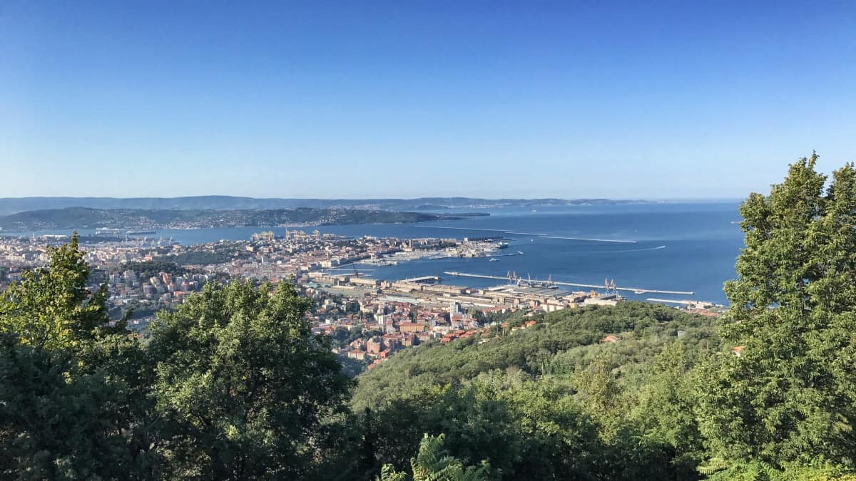
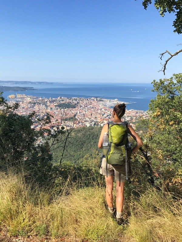
At the obelisk we first enjoy the view of the Gulf of Trieste and the Slovenian/Croatian coast and then cross the relatively busy Opicina-Trieste connecting road with the help of the underpass. We follow the narrow sidewalk for a few meters in the direction of Trieste, until on the left side a staircase leads into the forest. In the woods we walk past a fenced-off campsite until we come to a T-junction just before a tall telecommunications transmission tower, where we walk downhill to the right (waypoint 2). A few meters later, before the settlement of "Conconello", turn left into the woods (waypoint 3).
As soon as the path becomes a bit rougher, we turn left (waypoint 4) and follow the Alpe-Adria-Trail uphill. In the forest we cross the Via Alpina (waypoint 5), but keep straight on, now slightly downhill over a conspicuously furrowed open space.
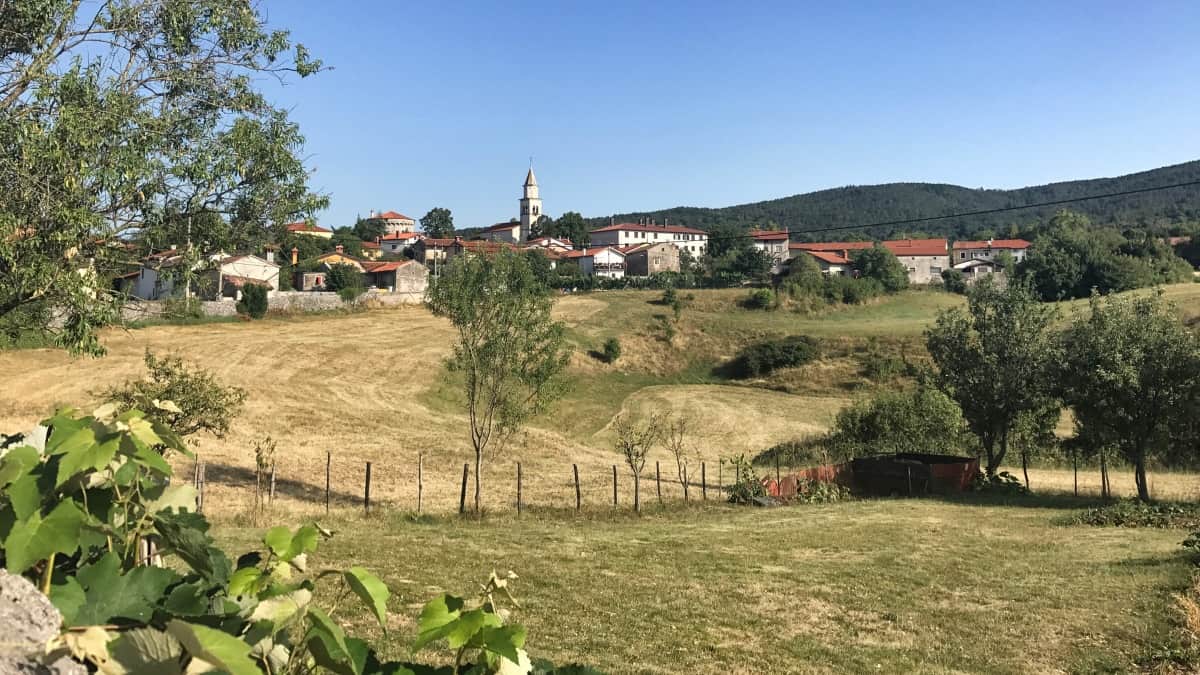
We cross the highway and reach Trebiciano, a small inconspicuous village. Here we keep to the right (waypoint 6) and turn left just before the small village church. At a small pond, hardly visible in dry weather, we keep to the right and leave the village along an agricultural path. Now we go more or less straight ahead until we reach Gropada reach another small Karst village. There is an opportunity for an early lunch in the Agriturismo Pickowhere products from our own cultivation are served.
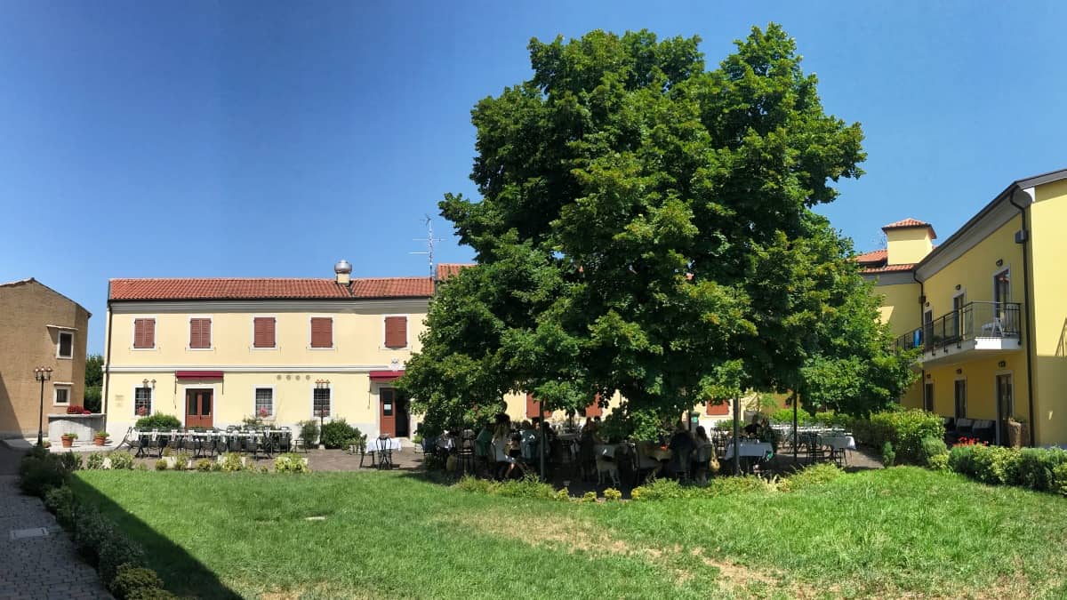
After about 4:00 walking time (from Opicina) we reach the entrance to Basovizza (waypoint 7). If you want to continue directly on the Alpe Adria Trail, you can take a shortcut to the left here, otherwise it is worth taking a detour to the small village center of Basovizza (waypoint 8) for a lunch break. There are several restaurants and cafes there. We found on our hike the Trattoria-Pizzeria Al Tiglio very appealing: in the courtyard and under the shade of a large linden tree it is excellent to dine.
Facts about stage 4
Route: 21,5 km
Altitude meters: 375 m ascent / 265 m descent
Duration: 7:30h (without breaks)
See also Elevation profile
GPS route download for stage 4 (GPX format)
Refreshment stops along the way
Supermarket, Bars & Restaurants in Basovizza
From Basovizza to Slovenia
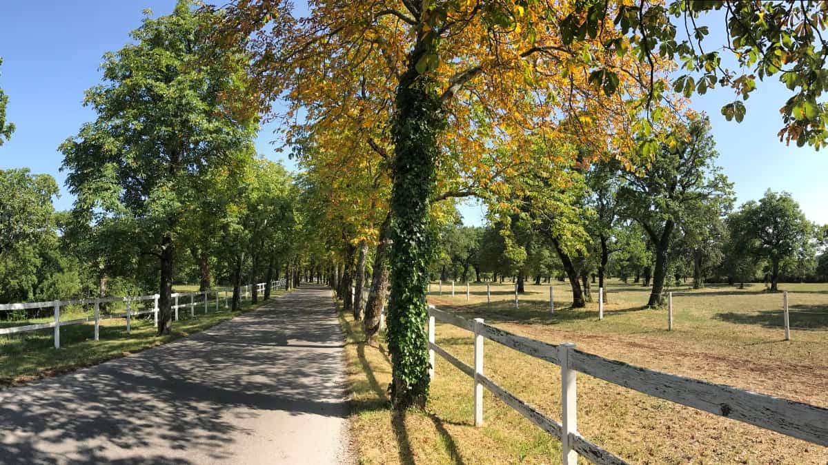
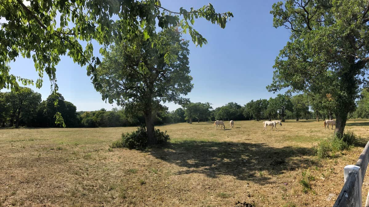
From Basovizza you now head back towards waypoint 7, where the Alpe-Adria-Trail as Sentiero Josef Ressel to the north. At waypoint 9 we pass - almost without noticing it - the Italian-Slovenian border. Since 2004 Slovenia belongs to the EU and already in 2007 Slovenia joined the Schengen Agreement and also the Euro, so we don't even have to change money on our "international" long-distance hike. Shortly after the border we leave the dead straight path to the right (waypoint 10) and approach the Lipica stud farm from behind (see Sights along the route). At the visitors' parking lot (waypoint 11) we turn left) and then directly right again (waypoint 12). From here, unfortunately, we have to walk for a while along the access road to the stud farm, since the entire area belongs to the stud farm and no other way is possible. However, the view of the spacious paddocks with many (mostly still dark) foals and the already older, white Lipizzaners compensates for the disturbing car traffic.
As soon as the white wooden fences of the stud farm end, we leave the Alpe Adria Trail and turn left (waypoint 13) onto Via Alpina. We follow it either continuously in a wide right turn to Lokev or we can turn right already at waypoint 14 and take the direct way to Lokev as a shortcut (from Basovizza approx. 3:30h to Lokev, with detour approx. 20 min more).
Stage 4: Accommodation in Lokev
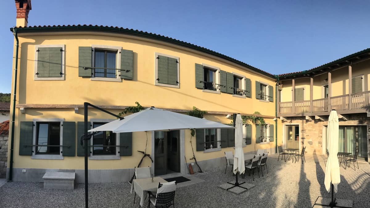
Overnight stay at Casa Krasna Guest House
As today's stage destination we have chosen Lokev. In this small Slovenian town there are several restaurants, stores and accommodation.
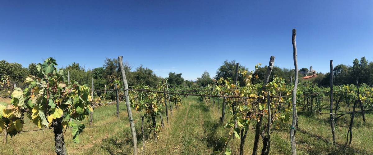
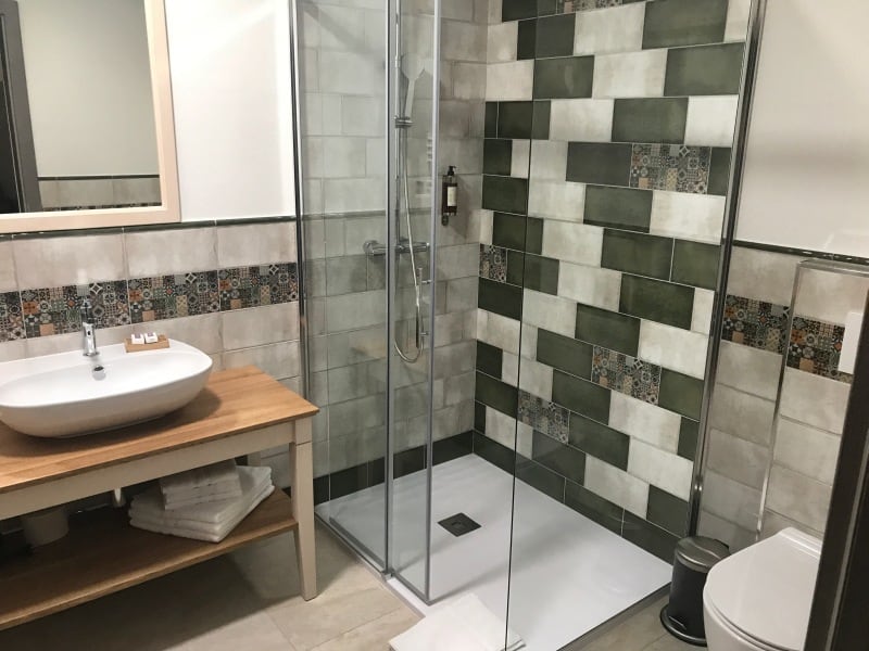
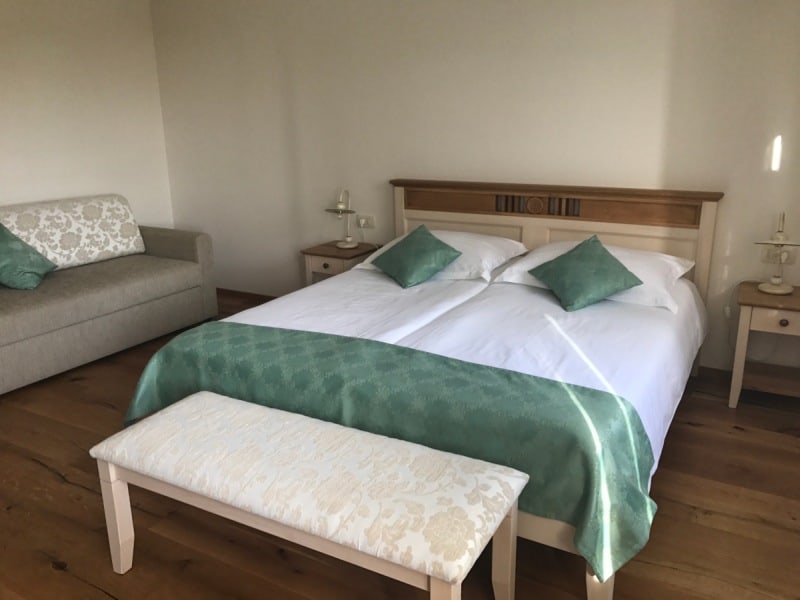
We have chosen in Lokev for the somewhat more luxurious Casa Krasna Guest House decided. A good choice: We particularly remember the very warm welcome, the delicious breakfast and not least the small welcome snack including a guided tour of the historic cellar.
A cheaper alternative is the B&B Mitel Yha at the eastern end of Lokev.
Stage 5: Directions
From Lokev to Veliko Gradišče
Today is the last stage of our circular hike and also one of the scenic highlights: The gorge in the Val Rosandra. To do this, however, we must first return to Italy and leave Lokev via the path opposite the restaurant Gostilna Muha in the direction of the south (waypoint 1).
We walk uphill over fields for a bit, cross a small village belonging to Lokev and then walk in the forest to the top of the Veliko Gradišče. This is more hill than mountain, but at 742 meters it is still the highest point of our five stages. Don't worry: it will be even more spectacular today, but only 300 meters lower!
Facts about stage 5
Route: 14,5 km
Altitude meters: 425 m ascent / 800 m descent
Duration: 6:00h (without breaks)
See also Elevation profile
GPS route download for stage 5 (GPX format)
Refreshment stops along the way
Hotel-restaurant on the thoroughfare in Pesek, however, much cozier is the Locanda Mario in Draga
Back to Italy
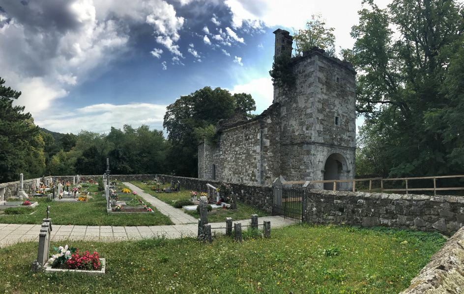
The descent from the Veliko Gradišče runs first in a beautiful deciduous forest. Then we reach a forest road that leads us past a small cemetery with an abandoned chapel. From here on we are again on the Via-Alpina (which runs here together with the Alpe-Adria-Trail). After a few hairpin bends we keep to the right on the Via-Alpina (the Alpe-Adria-Trail would go to the left, but in our opinion it is less beautiful in the further course) and enter Italian soil again (waypoint 3). We cross Pesek, a place that consists virtually only of a large thoroughfare and the hotel of the same name. Directly behind the hotel we turn left (waypoint 4). We descend until we cross twice in succession a former railroad line, now converted into a bicycle route, which runs through the valley in a wide curve.
In the small place Draga gives with the Locanda Mario an opportunity for a rest with lunch (waypoint 5).
Above the Val Rosandra
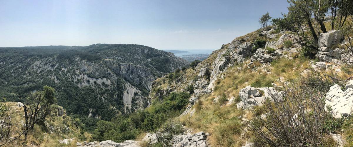
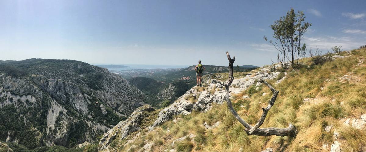
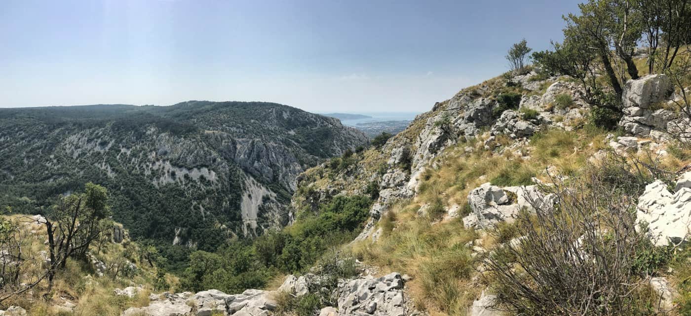
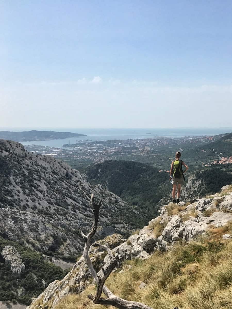
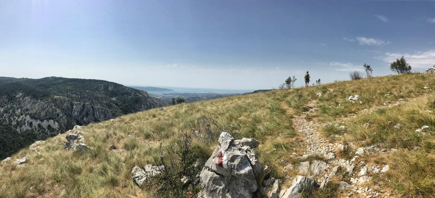
In Draga, we pass Locanda Mario on the right and get onto a narrow hiking trail. From waypoint 6 the hike suddenly becomes alpine: on the Via Alpina we climb along the right rock edge of the Val Rosandra. With every step and with every rock climbed, the view becomes more spectacular. At the top we get the full contrast: below us the karstic rocky gorge of Val Rosandra, in front of us the cranes and port facilities and in addition the panorama of the Gulf of Trieste! If not everyone succumbs as much as I to the industrial romantic charm of this sight: I readily admit that, as a Hamburg resident by choice, I may have a not so rational inclination towards the subject of the port...
From the plateau down into the gorge
So after indulging in the spectacular view for quite a while, we hike on the plateau always along the slope until we reach San Lorenzo. At the small church (waypoint 7) we turn left, cross the village and leave it on the small through road. Shortly after the town exit sign there is a small parking lot (waypoint 8), where we turn left. The parking lot is mainly intended for visitors to easily get to the nearby viewing platform. However, our path branches off to the right already before the viewing platform (waypoint 9). The turnoff to the steep descent is easy to miss. Whoever arrives at the small viewing platform has walked too far.
From now on it is steep to very steep downhill until we cross the small stream that is responsible for the deep gorge of Val Rosandra and at waypoint 10 before the Rifugio Mario Premuda stand. The hut, run by the Italian Alpine Club, is a meeting point for many climbers and has a very special record: at only 82 meters above sea level, it is the lowest Alpine Club hut on the Italian mainland.
From the Rifugio we reach in a few minutes the village of Bagnoli della Rosandra. From there there is the possibility, by bus back to Trieste to drive. This would also be our recommendation.
Alternative: Instead, on our hiking tour, we stopped in Bagnoli della Rosandra stayed overnight (accommodation: Residence Bleu) and the next day we still undertook the official final stage of the Alpe Adria Trail. This ends in Muggia, from where you can take the ferry to Trieste. Actually a nice thought, only: the trail leads mostly past industrial areas and partly through them. This is not very attractive and not a nice ending. Therefore, we decided not to explicitly recommend this "sixth stage" on our website. Instead, we advise to consider stage 5 as the crowning conclusion of this small long-distance hike.

