From Sistiana to Prepotto
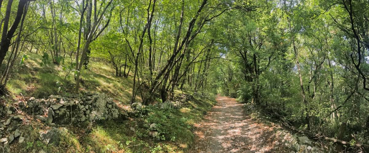
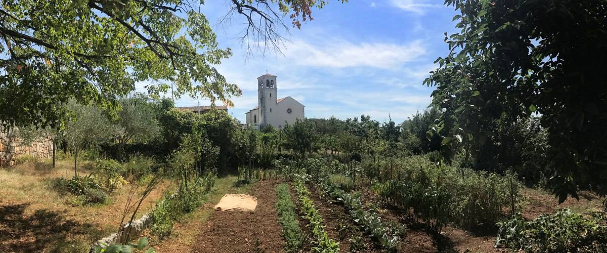
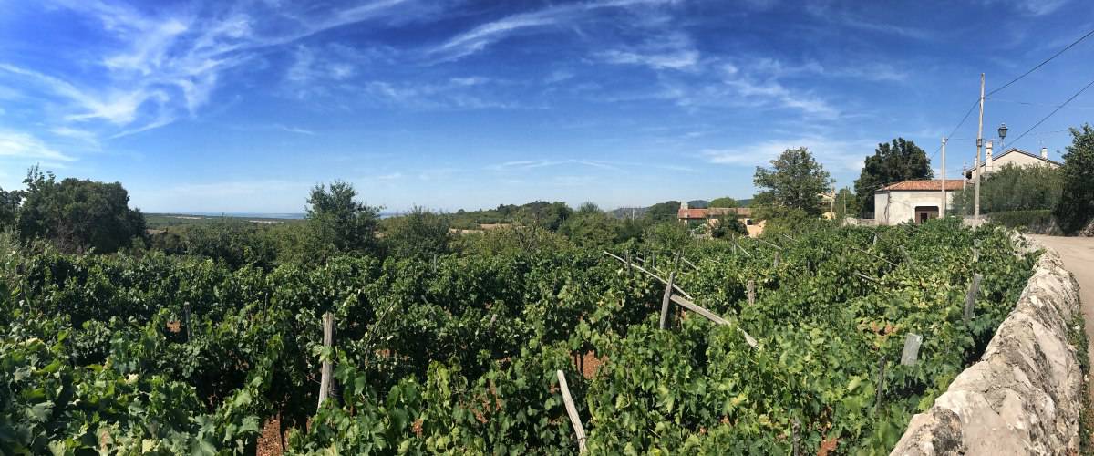
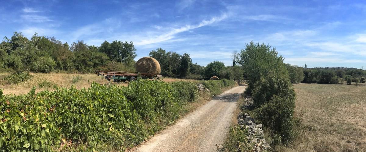
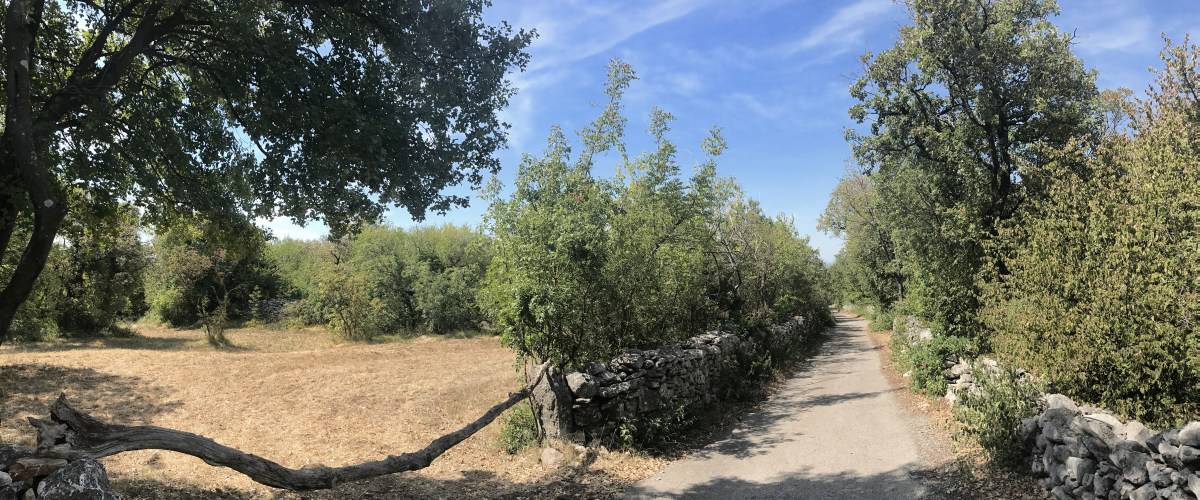
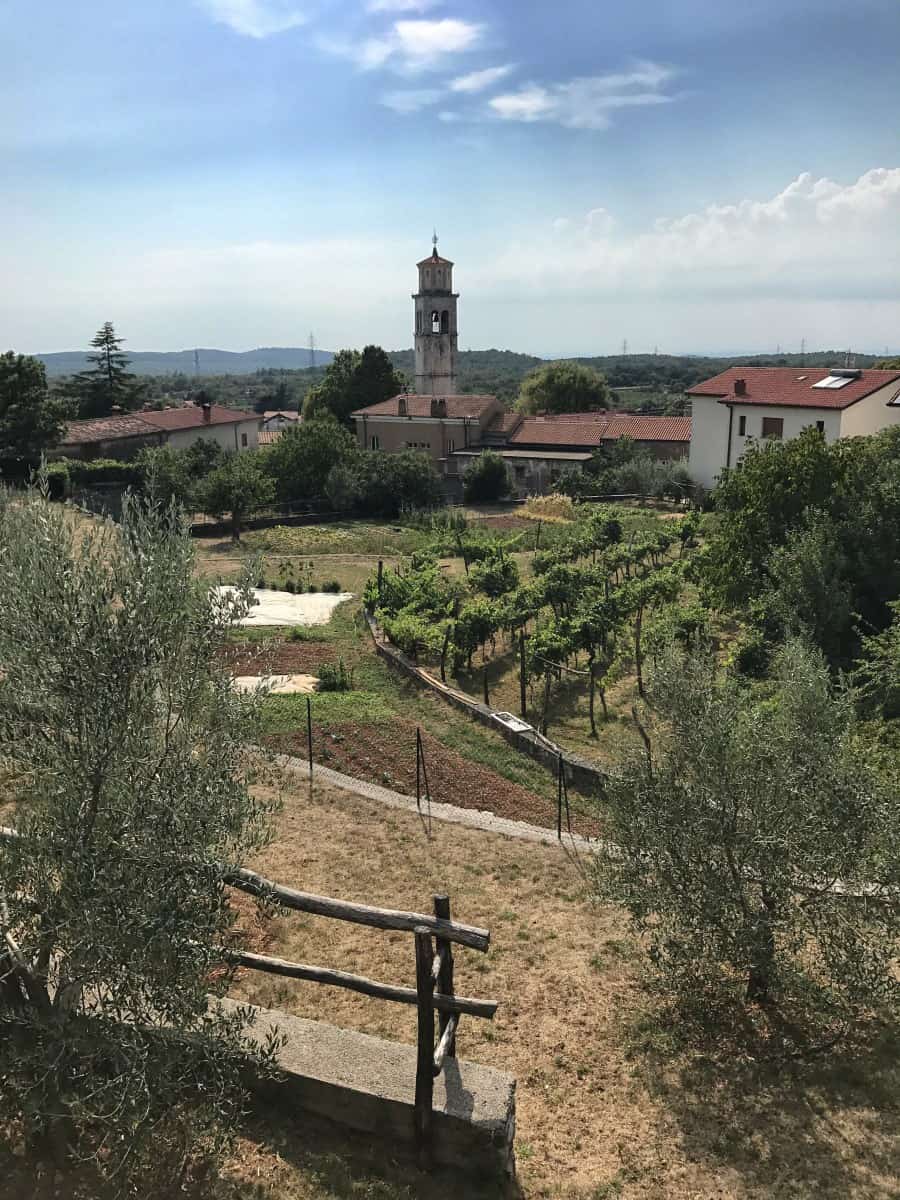
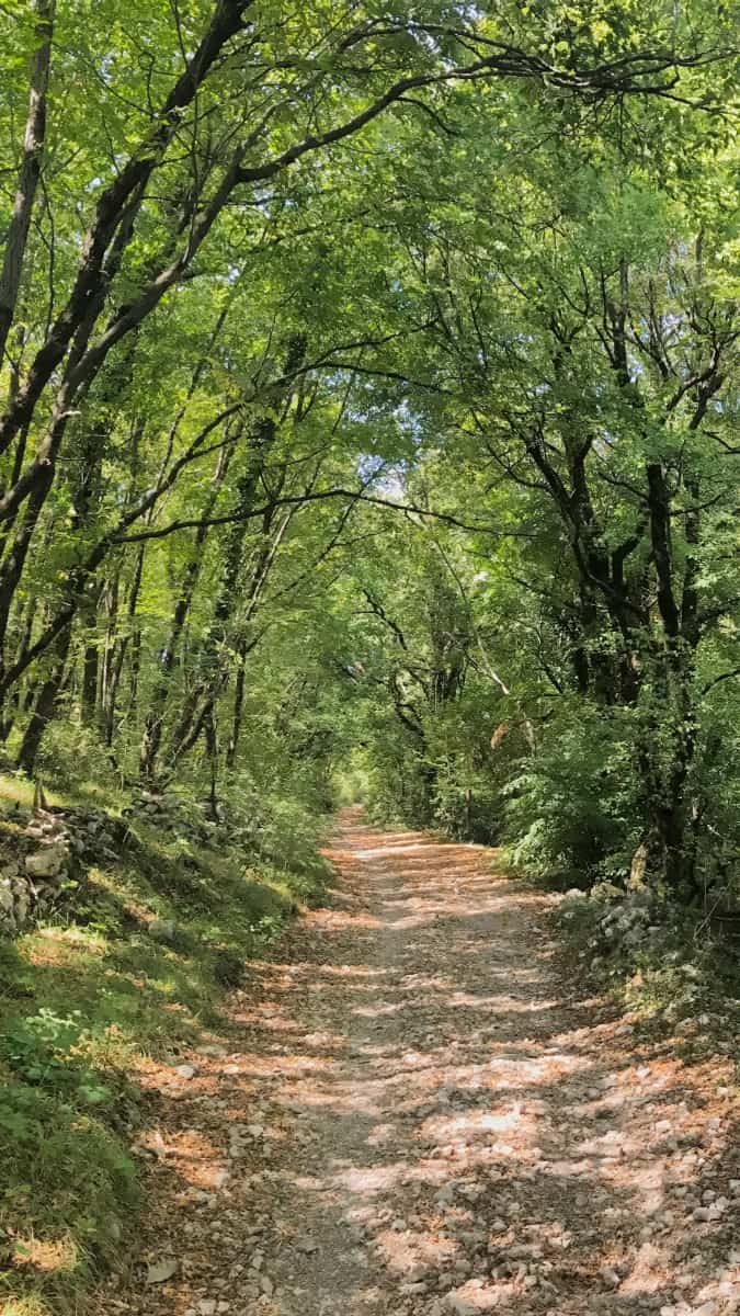
Today's stage takes us through the rural part of the Triestine Karst and several small villages up to the hilly border area with Slovenia. To do this, we leave the coastal road from Sistiana at the Osteria Tre Noci (waypoint 1) inland and cross the highway. Immediately afterwards, a road branches off to the right (waypoint 2), which after a while leads to a gravelled path (waypoint 3). We walk through sparse deciduous forest, cross the railroad line and arrive at Slivia, a village of about 130 inhabitants with a lot of agriculture. At the pretty church of Slivia (waypoint 4) we continue straight on and follow the paved path towards San Pelagio and Prepotto. These two villages merge almost seamlessly into one another and are heavily influenced by viticulture. Although we are still in Italy, Slovenian is already predominantly spoken in this area!
From Prepotto to Sales
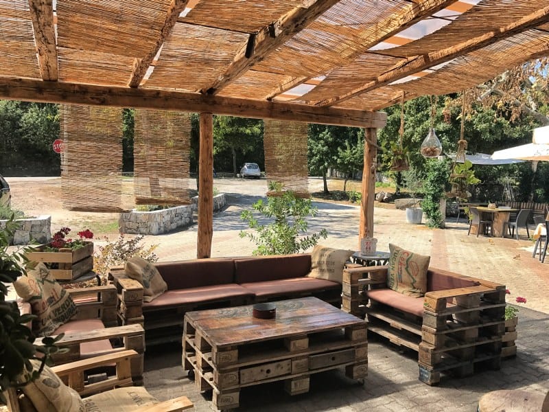
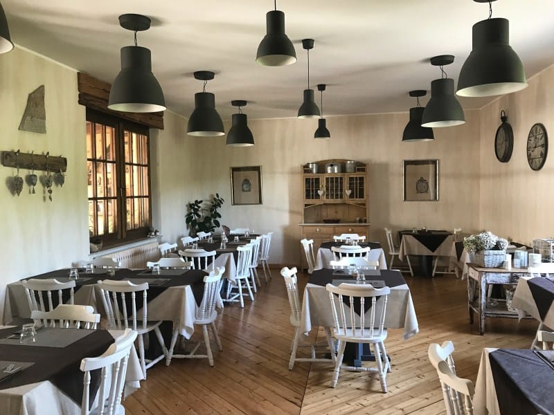
At Prepotto we turn left at waypoint 5 and walk through the woods for a short distance before we meet the SP6 highway and cross it (waypoint 6). At this point, by the way, is the highly recommended Trattoria Suban with a surprisingly metropolitan ambience for this location and very good cuisine.
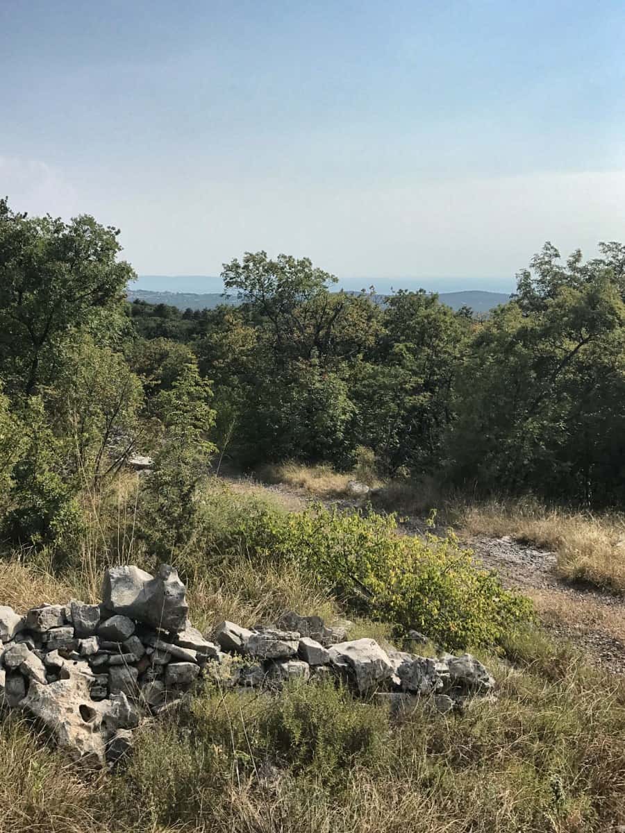
From the expressway we walk in the direction of Ternova Piccola, where we keep slightly to the left twice in succession (waypoint 7 and 8). The trail continues uphill into the hills of the Italian-Slovenian borderland, always following the Alpe Adria Trail. In a large loop (therefore at waypoint 9 turn left and immediately right again) we hike through the deciduous forest, on Italian territory but with Slovenia in sight. At waypoint 10 the Alpe-Adria-Trail turns right and takes us downhill to Sales. There is a place to stay at waypoint 11 (e.g. in case there is nothing left at the stage destination in Sgonico).
From Sales to Sgonico
The 3 remaining kilometers of today's stage lead us through Sales through (turn left at waypoint 12 and right at waypoint 13) and through the vineyards of Colludrozza until after Sgonico.
Facts about stage 2
Route: 13,6 km
Altitude meters: 345 m ascent / 135 m descent
Duration: 5:00h (without breaks)
See also Elevation profile
GPS route download for stage 2 (GPX format)
Refreshment stops along the way
Highly recommended: Trattoria Suban between Prepotto and Ternova Piccola

